Suites At Silver Tree
Oakland, Wisp and lake area
Condo-style suites listed in the Oakland and Deep Creek Lake area.
Check ratesDeep Creek Lake sits at a full pool elevation of 2,462 feet, but the water you boat on moves inside a permitted band set by the state and operated by a hydroelectric company. Here is how the level works, when it drops, and what that means for launching a boat, a kayak or a dock.
Short answer
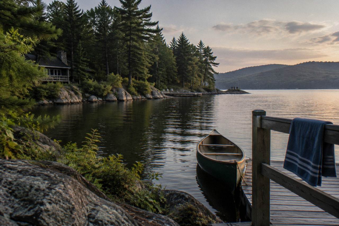
Deep Creek Lake's full pool elevation is 2,462 feet, and the lake is Maryland's largest impoundment at 3,900 acres. The level is held inside a permitted operating rule band, with the water typically lowered in late fall so docks can come out and winter conditions can be managed. Boaters see the effect as quiet coves, exposed shoreline and end-of-season dock schedules.
Deep Creek Lake is a reservoir, and a reservoir has a manager. The water that carries your pontoon, kayak or fishing boat is held at a full pool elevation of 2,462 feet, but that number is a ceiling, not a promise. Through the boating season the level drifts inside a permitted operating band, and in late fall it is deliberately drawn down so dock owners, the hydroelectric plant and winter weather can all be accommodated at once. If you're curious exactly when that seasonal drop happens each fall, our guide to the fall drawdown dates and dock deadlines at Deep Creek Lake covers the details.
That rhythm shapes almost everything about boating here. It decides whether the back of a cove is paddleable in October, whether a rented pontoon can clear a shallow spot near the shoreline, and when the last public docks come out of the water. This guide explains the numbers, the players and the calendar, using the state and operator sources that actually govern the lake.
Deep Creek Lake's full pool elevation is 2,462 feet above sea level, according to the Maryland Department of Natural Resources, which manages the lake's fishery and shoreline. At full pool the lake covers 3,900 acres, runs 13 miles end to end and wraps 69 miles of shoreline. The maximum depth, about 75 feet near the dam breast, and the average depth of roughly 25 feet give boaters an unusually deep main basin for a Maryland lake.
Those physical numbers come straight from the DNR's own fishing and lake facts page, which is the primary source for the lake's dimensions. The DNR hotspots page for Deep Creek Lake also notes that the lake is Maryland's largest impoundment and that boats can reach essentially the entire lake from the State Park ramp, apart from a small buoyed area at the outlet.
Full pool matters to boaters in practical ways. At 2,462 feet the cove tips that kayakers favor are deep enough to paddle, the no-wake zone within 100 feet of the shoreline is well defined against a stable waterline, and rental pontoons draft comfortably over the spots that turn thin later in the season. When the level drops even a foot or two, the change shows up first in those same coves.
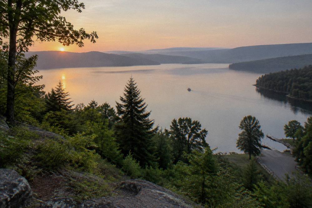
It helps to keep the two shoreline figures straight. The Garrett County Chamber's fast facts page gives 65 miles of shoreline, while DNR uses 69 miles. Both describe the same lake; the difference is measurement method. This site follows the DNR figure.
| Measurement | Value | Source |
|---|---|---|
| Full pool elevation | 2,462 feet | Maryland DNR |
| Surface area | 3,900 acres | Maryland DNR |
| Length | 13 miles | Maryland DNR |
| Shoreline | 69 miles | Maryland DNR (Chamber lists 65) |
| Maximum depth | About 75 feet near the dam breast | Maryland DNR |
| Average depth | About 25 feet | Maryland DNR |
| Watershed | 140,000 acres | Maryland DNR |
Maryland owns the lake, the lake bed and the buffer strip of land around it, which makes the state the ultimate authority over Deep Creek's water. Day to day, the level is operated by Brookfield Renewable, the company that runs the small hydroelectric plant the lake was built to feed. The water use itself is permitted and controlled by the Maryland Department of the Environment, which sets the operating band.
The ownership piece is worth underlining because it is unusual. The DNR's Deep Creek Lake Natural Resource Management Area regulations page states that the lake is part of the State park system and one of sixteen state-owned lakes. That is why dock permits, boating rules and shoreline rules all run through DNR rather than a private association, even though most of the waterfront is lined with private docks.
The operational side is a three-way arrangement. Brookfield Renewable, as the plant operator, moves water through the turbines and keeps the level within the permitted band so far as runoff and drought allow. The Department of the Environment holds the water use permit. DNR manages the public resource on top: the ramps, the buoys, the no-wake enforcement and the launch stewards who check boats for invasive species at the State Park ramp.

For boaters, the practical takeaway is simple: nobody at the marina or the rental counter decides the level. If the water looks low in November, it is not a maintenance accident. It is the system working as permitted, and the answer to "when does it come back" is a calendar question covered further down this page.
The operating rule band is the permitted window of lake levels, an upper and a lower elevation, inside which the hydroelectric operator tries to hold the water through the year. Brookfield Renewable states that it strives to keep the lake within this band, with allowances for high runoff in wet periods and drought in dry ones. No month-by-month table of band figures is published in the primary sources.
The band concept explains something that puzzles first-time visitors: the lake is rarely exactly at 2,462 feet, even in summer. The band gives the operator room to generate electricity, release water downstream and absorb storms without violating the permit. DNR-linked summaries describe the same arrangement: a permitted range, an operator that manages to it, and a regulator that sets it.
The band is also what makes the fall lowering routine rather than dramatic. A drawdown that stays inside the permitted window is business as usual, not an emergency release. When a larger, project-specific lowering has been needed in the past, such as the Arrowhead Cove dredging work, it was done under its own permit conditions with a scheduled return to the upper band afterward.
If you are planning a trip around a specific elevation, the honest advice is not to. Read the live level the week you travel, using the sources in the section on checking the current reading below, and match your expectations to the season rather than to a single target number.
The lake is lowered in stages beginning in late fall, with the level coming down after the main boating season ends so docks can be removed, the shoreline can be inspected and winter storage in the watershed is available for spring runoff. The lowering happens inside the permitted band, and the water returns toward the upper band in time for the next boating season. No fixed public calendar of dates is published.
The seasonal logic is easy to picture. Through summer, the level supports boating, swimming at the State Park beaches and the rental fleet. After the season winds down, the operator releases water, dock owners pull their structures, and the lake heads into winter with room to catch spring snowmelt and rain without overtopping the target range.
The dock side of the calendar is the part boaters most often need. Private and commercial docks around the lake must be out of the water for the winter period, per the property owners association's summary of the rules. Public docks at the State Park come out in stages in late fall, beginning with the Discovery Center side of the launch area, then the remaining sections as the season closes. Exact timing shifts year to year, so the State Park phone line is the reliable check.
| Phase | What Happens | What Boaters Notice |
|---|---|---|
| Late fall lowering begins | Water is released inside the permitted band | Cove tips thin out, shallow spots tighten |
| Public dock removal | State Park docks come out in stages in late fall | Launch remains open, but dock access shrinks |
| Private dock deadline | Waterfront docks are pulled for winter | The shoreline looks barer each week |
| Winter holding | Level rests in the lower part of the band | Ice forms in cold winters, ice fishing begins |
| Spring refill | Runoff and rain bring the level back toward the upper band | Ramps and coves return to normal depths |
For a deeper look at the same rhythm from the trip planning side, the sibling article on when the lake is lowered each year walks through the practical questions, and the guide to the best time for boating on Deep Creek Lake matches the level cycle against crowds, weather and water temperature.
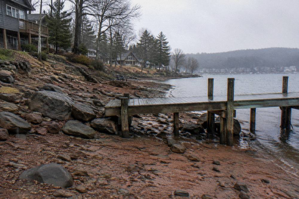
Lower water mainly affects the shallowest water: cove tips, shoreline margins and the areas near the upper end of the lake become thinner or unmotorizable, while the main basin keeps its depth. The 100 foot no-wake zone still applies, boat length limits still apply, and the State Park launch stays open through the drawdown period, weather permitting. Kayaks and paddleboards are far less affected than propeller driven boats.
The asymmetry is the key point. A drop of a few feet barely registers in a basin that averages 25 feet deep, but at the quiet cove tips south of the Glendale Bridge, where paddlers go for calm water, the same drop can pull the waterline back past the reach of a kayak launch. Anglers who work the shoreline margins find the structure they were fishing is now dry land.
Rental fleets feel it too, in scheduling more than in navigation. Operators such as Lake Life Boat Rentals and Deep Creek Lake Boats run their pontoon seasons from roughly mid-May to mid-October, which tracks the period when the lake is near its summer band. Late-season renters should confirm dates directly with the operator's page, since the season closes when the water comes down and the docks come out.
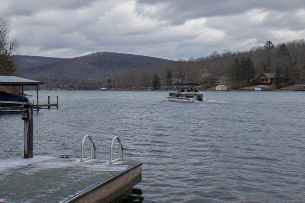
Guided tours compress their calendar the same way. The Wisp Resort Lake Adventures concession at the State Park runs its guided pontoon tours and kayak, paddleboard and tube rentals during the summer season, with reservations required. High Mountain Sports and Funtime Watersports run comparable summer schedules from the Oakland end of the lake. When the level drops, these operations wind down rather than relocate.
| Boating Activity | Effect Of Lower Water | Best Window |
|---|---|---|
| Pontoon rental | Fleet seasons close as docks come out | Mid-May to mid-October |
| Guided pontoon tour | Operators run summer schedules only | Summer season |
| Kayaking and paddleboarding | Cove tips thin but remain paddleable | Spring through fall, early starts in fall |
| Fishing from a boat | Shoreline structure shifts as the waterline drops | Open water season, then ice fishing |
| Launching at the State Park | Ramp stays open, dock sections come out in stages | Weather permitting, year round |
Paddlers planning around the quieter end of the lake will find more detail in the guide to kayaking and paddleboarding on Deep Creek Lake, and anyone towing their own boat should read the rules page first.
In a normal winter the lake rests in the lower part of its permitted band, a few feet below full pool, with the exact reading depending on rainfall, snowmelt and power demand. No fixed minimum elevation is published in the primary sources, and DNR-linked summaries state only that the operator keeps the level within the permitted range with allowances for drought and runoff. Project specific lowerings have gone lower, under their own permits.
The clearest documented example of a deeper drawdown was the Arrowhead Cove dredging project, when the lake was lowered to a specific elevation for sediment removal inside a project permit, with a scheduled return to the upper band afterward. That kind of lowering is the exception, tied to shoreline work, not a recurring winter event.
For winter visitors, the practical number is not the lake elevation at all. It is ice thickness. In cold winters the lake freezes over enough to become Maryland's premier ice fishing destination, targeting yellow perch, walleye and bluegills. Maryland DNR does not measure or certify ice thickness, and its guidance is blunt: no ice is completely safe, never go alone, tell someone your plans, and test thickness in multiple spots, with a minimum of four inches of clear, solid ice for anyone traveling on foot. The guide to ice fishing on Deep Creek Lake covers the winter side of the lake in detail.
The operator's Safe Waters page for Deep Creek publishes the current lake level reading, and a United States Geological Survey gauge near Thayerville provides an independent measurement. Because the two sources can read slightly differently and the level moves with weather and releases, treat any single reading as a snapshot and check it close to your travel date rather than weeks ahead.
The Brookfield Safe Waters page for Deep Creek is the operator's own publication and the one most lake residents watch. It also explains the band concept in the operator's words, which is useful context for why the number moves at all.
For boaters, the level reading is one input among several. The State Park's phone line, which DNR lists for conditions, carries the ground truth on ramp status, dock sections and winter gate closures. During snowmobile season, from mid-December to mid-March, the main State Park gate is closed and parking moves to the Discovery Center, which changes how you stage a day on the ice.
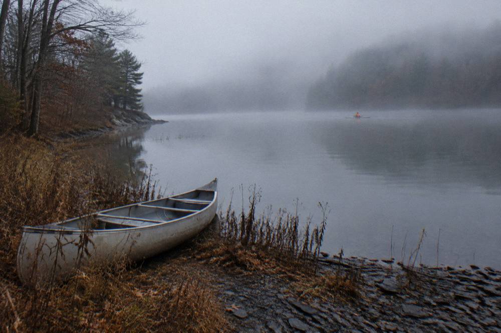
A launch fee or a valid lake use permit or State Park pass applies at the ramp. The DNR fees page carries the current launch fee, and the section on launching below links it directly.
The State Park boat launch is the primary access point for boaters, open 24 hours a day weather permitting, with a four-vehicle launch area and a fee or valid permit required each use. The launch stays available through the drawdown period, though dock sections come out in stages in late fall and winter access is shaped by snow and the seasonal gate closure. Shoreline anglers use the public access points instead.
That launch profile comes from the DNR's own State Park page, which also notes that overnight slips at the launch are reserved for State Park campers. DNR's fisheries page adds an important boundary: beaching a boat is not permitted on the shoreline except in emergencies, so the ramp is the real gateway for anything motorized.
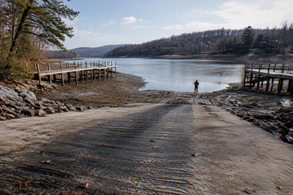
The DNR fees page lists the launch fee and the annual State Park Passport; check it before you go, since the figures are set by the state and do not belong on a third-party page. The full guide to boat ramps and launching on Deep Creek Lake covers ramp logistics in more depth, including the winter phone contacts DNR publishes for launch conditions.
Non-motorized boaters have a gentler option at the State Park: a canoe and kayak launch at the main beach lot, which keeps paddlers out of the traffic pattern at the ramp. That launch is also where the beach season kayak and paddleboard rentals stage from in summer.
Lodging clusters around McHenry at the north end near Wisp Resort and the State Park, and along the Oakland corridor toward the quieter southern end of the lake. For late-season boating, the trade-off is simple: McHenry puts you minutes from the launch, while the Oakland-area inns put you closer to the coves and the Thayerville side, both a short drive from the water.
The north end is the practical base if the State Park launch is your destination. Wisp Resort sits about a 0.6 mile walk from the lake, and its concession runs the State Park's guided pontoon tours and beach rentals, so a stay there pairs naturally with a day on the water without hauling gear far.
The Oakland side suits travelers who want the southern coves, Swallow Falls State Park and a slower pace. The Suites At Silver Tree offer condo-style lodging in the Oakland, Wisp and lake area, which covers both bases for a split day of paddling and foliage driving. The Garrett Inn sits in Oakland about 2.4 miles from the lake, a three-minute drive per its listing, and works well when the plan mixes boating with time off the water.
Oakland, Wisp and lake area
Condo-style suites listed in the Oakland and Deep Creek Lake area.
Check ratesWhichever end you choose, book with the level calendar in mind. The weeks when the water is still up and the color is turning are the same weeks the whole region fills for foliage season, and the lake area's busiest stretch can leave late bookers far from the launch. Fall color in Garrett County typically peaks in the second half of October, overlapping the last weeks of the pontoon season.
No. The boating rules hold regardless of elevation: boats are limited to 26 feet overall, 30 feet for pontoons, engines must stay at the manufacturer's rated maximum, and all vessels must run at no-wake speed within 100 feet of shoreline, bridges, piers, docks or other vessels. The personal watercraft restrictions, including the midday blackout windows on summer weekends and holidays, are unchanged by the level too.
Those limits come from the state regulations that govern the lake, summarized in DNR's Deep Creek pages and the regulation the lake falls under. The full breakdown lives in the site's guide to Deep Creek Lake boating rules, including the certificate requirement for anyone born on or after July 1, 1972 who operates a motorized vessel.
One level-adjacent rule does deserve a flag here: the invasive species inspection. DNR's program requires that no vessel or equipment carrying attached aquatic plants or prohibited nonnative organisms enter state waters, and launch stewards at the State Park ramp offer free voluntary inspections. At a lower level, more shoreline and structure is exposed, which makes cleaning your boat and trailer before launch even more straightforward, and more important, since hydrilla treatment is ongoing in parts of the lake including Arrowhead Cove. The details sit in the guide to boating on Deep Creek Lake.
| Rule | What It Says | Level Connection |
|---|---|---|
| Boat length | 26 feet overall, 30 feet for pontoons | Applies at any elevation |
| No-wake zone | No-wake speed within 100 feet of shore, docks, piers and vessels | Distance is measured, not depth |
| PWC hours | No operation 11 a.m. to 4 p.m. on peak summer days | Unchanged by drawdown |
| Clean, drain, dry | No vessel with attached plants or prohibited species may launch | Inspections at the State Park ramp |
| Dock removal | Private and commercial docks out for the winter period | Timed to the drawdown |
Full pool is an elevation of 2,462 feet above sea level. At that level the lake covers 3,900 acres, runs 13 miles long and holds about 69 miles of shoreline, with a maximum depth near the dam breast of roughly 75 feet and an average depth of about 25 feet.
The state sets the permitted operating band, the Maryland Department of the Environment controls the water use, and Brookfield Renewable operates the hydroelectric plant day to day within the band. Maryland owns the lake bed and the surrounding buffer strip, and DNR manages the public resource.
The lake is lowered in stages beginning in late fall, after the main boating season ends, so docks can come out and the watershed has room for spring runoff. No fixed date table is published, and the exact timing shifts each year with the weather and the season's rentals.
Public docks at the State Park come out in stages in late fall, starting with the Discovery Center side of the launch area. Private and commercial docks around the lake must be out of the water for the winter period. Check with the State Park for the current schedule.
Yes, while the season lasts. The State Park launch stays open weather permitting, and the main basin keeps its depth. The shallow cove tips thin out first, which affects propeller driven boats more than kayaks and paddleboards. Rental and tour operators close their seasons on their own calendars, typically by mid-October.
The operator's Safe Waters page for Deep Creek publishes a live reading, and a USGS gauge near Thayerville provides an independent measurement. The two can read slightly differently, so treat any single number as a snapshot and check it close to your travel date.
Late-season visitors still sorting out a base can also consider the LakeFront Lodge in the McHenry area, a lodging option near the north end of the lake and its launch and rental scene.
Oakland
Oakland inn listed under the Deep Creek Lake name.
Check ratesThe lake will be back near the upper band before the ramps fill again in spring. Until then, the level is doing what a managed reservoir does: dropping on schedule, holding through the freeze, and refilling for the next season of pontoon days, quiet paddles and ice fishing that defines Deep Creek Boat Tours coverage of this lake year round.
Before you go, the pick for this guide:
The Garrett Inn
About 2.4 miles (3 minutes by car) from the lake per the listing.
Check rates →